
The first maps
Today a satellite can photograph the whole Earth. The ancient Greeks had no such help. They could not look down from the sky, and much of the world was unknown to them. Still, they wanted to draw it. They used what travellers reported, and they used their minds.
In Homer’s Iliad, the god Hephaestus makes a shield for Achilles. Around its edge runs the great river Ocean, the Ὠκεανός. For early Greeks, this river flowed around all the land.
In the 6th century BC, a thinker called Anaximander lived in Miletus, a Greek city in Asia Minor (today’s Turkey). Later Greek writers say that he was the first to publish a map. The geographer Strabo, quoting the scholar Eratosthenes, calls it a γεωγραφικὸν πίνακα, a “geographical tablet”. The map itself is lost, so nobody knows exactly what it looked like. Very few maps from these early centuries have survived. According to a later tradition, the oldest maps were round, with Greece in the middle and Delphi at the centre. At Delphi, a stone called the ὀμφαλός, the “navel”, marked the middle of the world.
Test yourself: 4 words from this page
1 / 4
What does this word mean?
A bronze map and a joke about Sparta
Around 500 BC, Aristagoras, the ruler of Miletus, went to Sparta. He wanted the Spartans to help the Greeks of Ionia against the Persians. Herodotus tells the story as the Spartans told it (5.49–50). Aristagoras brought a bronze tablet (χάλκεον πίνακα in Herodotus’ Greek). Cut into it were the whole earth, all the sea and all the rivers. He pointed to one people after another on the way to Susa, the Persian king’s city.
Then King Cleomenes asked a simple question: how long was the journey from the sea? Three months, said Aristagoras. Cleomenes told him to leave Sparta before sunset.
Maps even became a joke. In Aristophanes’ comedy Clouds (423 BC), a student shows an old man a map of the whole earth. “Here is Athens,” he says. The old man does not believe it, because he cannot see any jurors sitting there! Then he sees how close Sparta is, and he tells the student to move it much further away. The joke suggests that the audience knew what a map was.
Herodotus laughed too (4.36). Mapmakers, he said, drew the earth as a perfect circle, as if made with a compass, with the Ocean running around it. He himself knew of no river called Ocean (2.23).
Lines on the map
Later Greeks knew that the Earth is a ball, so making a map became a question of mathematics. Eratosthenes (about 276–194 BC), head of the Library of Alexandria, wrote a work on geography, the Γεωγραφικά. He worked out the size of the Earth and tried to improve the map of the known world. An earlier scholar, Dicaearchus, had used a line from west to east, starting at the Strait of Gibraltar. Eratosthenes kept this idea, took the line through Rhodes to India, and used a line from south to north through Rhodes. Then he gave distances between places along his lines. His book is lost: we know it mainly through Strabo.
In the 2nd century AD, Ptolemy worked in Alexandria. His Geography, in eight books, explains how to draw maps and lists places with two numbers each: how far north or south, and how far east or west. Today we call these latitude and longitude. Greeks say γεωγραφικό πλάτος (“width”) and γεωγραφικό μήκος (“length”). Ptolemy made mistakes too. He took a smaller size for the Earth (180,000 stadia) than Eratosthenes did (about 250,000). No map from his own time survives, and historians are not sure that he drew any. In 1295 a Byzantine scholar, Maximus Planudes, went looking for this neglected book. The oldest copies with maps that we have date from around his time.
Three continents and words still in use
Herodotus (4.42, 4.45) describes a world in three parts: Europe, Asia and Libya, the Greek name for Africa. He wonders who drew the borders between them, and he says that nobody knows whether Europe has sea all around it.
Many of these map words are still alive. Γεωγραφία comes from γῆ, “earth”, and γράφω, “write” or “draw”. It is a school subject in Greece today. The ancient ὠκεανός is now the ωκεανός of any world map. A πίναξ was a board or a tablet, and today a πίνακας is the board in a classroom. An ἤπειρος was a mainland, and an ήπειρος is now a continent. The ancient νῆσος lives on as νησί, through its small form νησίον.
The most surprising word is χάρτης. It is the word for a map today, but in ancient times it meant papyrus for writing. You can read how that happened in the box on this page.
Key dates
- 6th c. BCAnaximander of Miletus is said to publish the first Greek map
- c. 500 BCAristagoras shows the Spartans a map on a bronze tablet
- 423 BCA map appears on stage in Aristophanes’ Clouds
- 3rd c. BCEratosthenes draws lines on the map of the known world
- 2nd c. ADPtolemy writes his Geography in Alexandria
- 1295Maximus Planudes goes looking for Ptolemy’s Geography
Eight words, then and now
| Ancient Greek | Greek today | Meaning |
|---|---|---|
| geography | ||
| map (once papyrus) | ||
| paper | ||
| ocean | ||
| tablet; today a classroom board | ||
| mainland; today a continent | ||
| island (via νησίον) | ||
| the inhabited world |
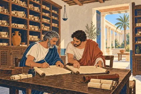 The Library of Alexandria
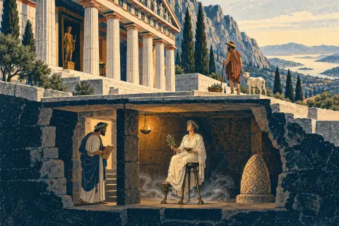 The Oracle of Delphi and the Pythia